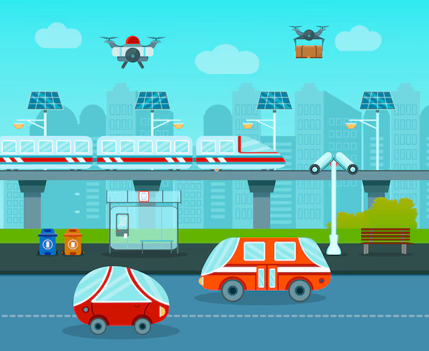
Drone Surveys for Railways
At Atom Aviation, we provide innovative drone survey solutions specifically designed for the railway industry. Our cutting-edge UAV technology delivers precise and high-resolution aerial data, making it easier to monitor, maintain, and plan railway networks with exceptional accuracy and efficiency.
Our drone surveys offer a comprehensive view of railway corridors, enabling fast and detailed topographical mapping, route alignment surveys, and asset geo-tagging. We utilize advanced sensors like LiDAR and GPR to detect potential hazards such as track defects, structural issues, or encroachments, ensuring safe and reliable railway operations.
At Atom Aviation, we offer comprehensive drone survey services tailored to the railway sector, leveraging state-of-the-art UAV technology to transform the way railway infrastructure is inspected, monitored, and maintained. Our advanced drone solutions provide high-resolution, real-time data that enhances project planning, safety, and operational efficiency.
Route Alignment and Topographical Surveys:
Our drones efficiently conduct route alignment surveys and topographical mapping across vast railway corridors. This helps identify optimal routes and detect geographical obstacles, saving time and resources during the planning phase.
Track and Asset Inspections:
We use drone technology to perform detailed inspections of railway tracks, bridges, tunnels, and other key assets. This non-invasive method allows for quick identification of structural wear, cracks, or damage without disrupting train operations.
LiDAR and GPR Surveys:
Our UAVs are equipped with advanced sensors such as LiDAR and Ground Penetrating Radar (GPR) to accurately map terrain and detect subsurface issues, including track subsidence and drainage problems. This ensures preventive maintenance and reduces costly repairs.
Encroachment Detection and Corridor Monitoring:
Our drone services help identify unauthorized encroachments and monitor vegetation growth along railway corridors, ensuring compliance with safety regulations and minimizing risks of disruptions.
Construction Progress Monitoring:
For new rail projects, our drones provide regular aerial updates on construction progress, helping project managers stay on schedule and make data-driven decisions. High-resolution imagery and videos allow for efficient site management and real-time adjustments.