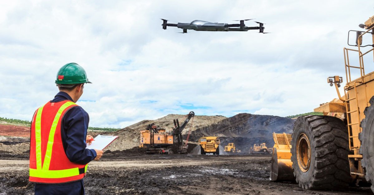
Drone Surveys for Mining
At Atom Aviation, we provide specialized drone survey services designed to meet the unique needs of the mining industry. Our advanced UAV technology delivers accurate, high-resolution data that enhances exploration, extraction, and site management while optimizing operational efficiency and safety.
Explore Our Software Based Services
Key Services for Mining:
- Topographical and Geospatial Surveys: Our drones perform detailed topographical surveys and geospatial mapping of mining sites. This data supports resource estimation, site planning, and environmental impact assessments, providing a comprehensive view of the terrain and resources.
- Volumetric Analysis: Using high-resolution imagery and 3D modeling, our drones calculate stockpile volumes, excavation quantities, and material inventories with remarkable precision. This enables accurate reporting and efficient management of resources and materials.
- Pit and Dump Monitoring: We monitor and document the progress of open pits and waste dumps through regular aerial surveys. This helps in tracking excavation progress, identifying potential hazards, and planning future operations more effectively.
- Mine Site Inspections: Our drones conduct inspections of mining infrastructure, including conveyor belts, crushers, and processing facilities. This non-intrusive method provides real-time insights into the condition of equipment and helps in identifying maintenance needs or safety issues.
- Environmental Monitoring: Drones provide aerial views to monitor environmental impacts, such as vegetation changes, water management issues, and land reclamation progress. This assists in ensuring compliance with environmental regulations and minimizing the ecological footprint of mining activities.
